Architectural As-Builts
Site and building study
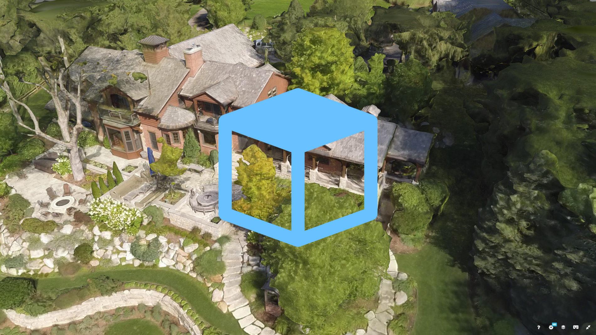
This is a 3D model created solely from drone photographs. With a technology called photogrammetry, we convert photographs into 3D /data in far less time than conventional approaches. When completing an as-built site model such as this, we typically perform a LIDAR scan for finer architectural detail, then cover the surrounding site with this drone data. In the model above we used drone-based photogrammetry only, but you can see other combinations of 3D Site Analysis technology in our gallery.
#18-076


0 Comments